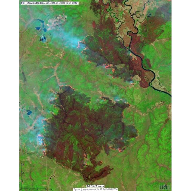
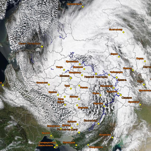
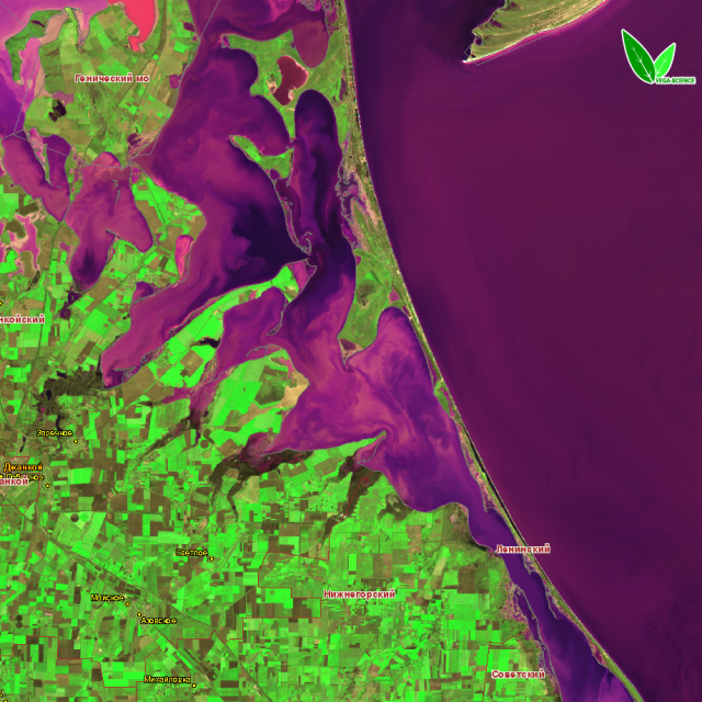
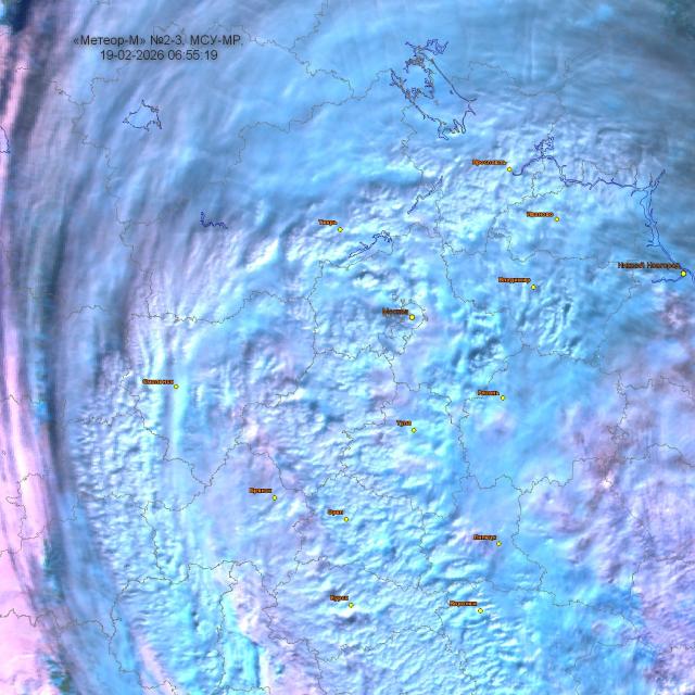
Earth From Space: Wildfires In Amur River Region Infrared satellite images taken in May 2026 clearly show the astonishing rate of wildfires propagation: just in few days a small site turned into a major disaster. Images of Landsat (USGS) and Sentinel-2 (ESA) satellites were processed with the help of VEGA-Science information system developed at IKI.
Baltic Cyclone from space on 27—29 April Late April 2026 brought drastic cooling to the central part of European Russia. The cyclone 'in charge' for this weather change is seen on the images, processed with the help of VEGA-Science information system, developed at IKI.
«Make Way To Spring» While snow is still melting in European part of Russia, winter crops are already green in Crimea.
Cyclone Over European Russia As Seen By Meteor-M No.2-3 Balkanian cyclone brought heavy snowfalls to European part of Russia on 19 February 2026. Its effect on the landscape from 17 to 19 February can be traced thanks to MSU-MR instrument aboard Meteor-M No. 2-3 satellite. Images are built with the help of BEGA-Science Information system developed at IKI.
IKI instruments aboard Elektro-L No.5 On 12 February 2026 Proton-M rocket launcher with DM-03 booster lifted off from Baikonur cosmodrome, carrying Elektro-L No.5 mission for Earth remote sensing. Thr spacecraft was successfully inserted into geostationary orbit more than 35 thousand kilometer high. IKI Special Desing Bureau for Space Instrument enigeneering contributed to its payload.
Improving the Accuracy Of Data Location From the MTVZA-GYa Microwave Radiometer Aboard Meteor‑M No. 2–4 With Solar Observations To use the Sun as a calibration source for MTVZA-GYa instrument aboard the Meteor‑M No. 2–4 satellite was proposed by researchers from IKI and Lomonosov Moscow State University.
Basic Components Of a Remote Monitoring Technology For Desertification Processes Of Russia’s Arid Pastures Developed Researchers from IKI and their colleagues at the Dagestan Federal Research Center of the RAS using Earth remote sensing data developed a methodology, which automatically identifies pastures that have lost their natural vegetation cover due to desertification. They also assessed the changes of exposed sands areas in southern regions of Russia over several years.
23rd international conference «Modern Problems of the Earth Remote Sensing» November 10–14, 2025 IKI hosted the 23rd international conference "Modern Problems of the Earth Remote Sensing".